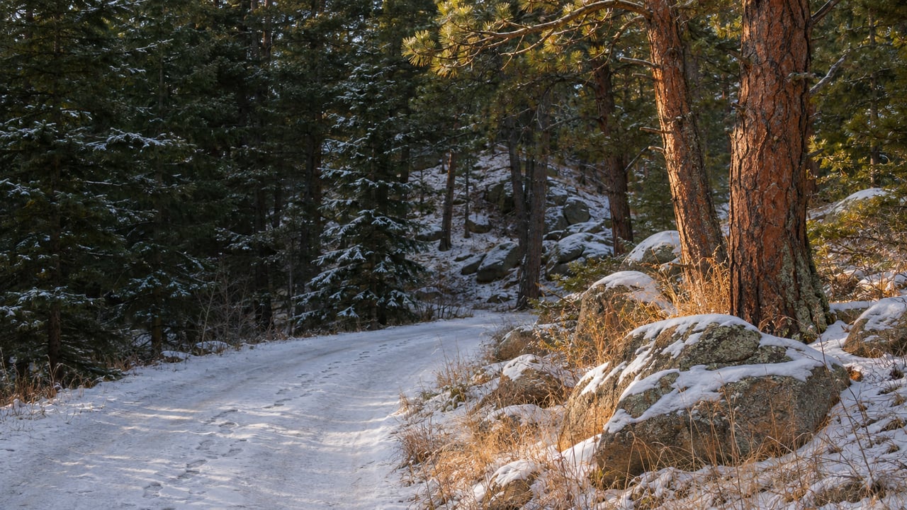
North of Allenspark, the Wild Basin Road leaves Highway 7 and turns to gravel. It stays narrow and often single-lane as it runs toward the St. Vrain drainage. Its last 0.7 mile matters most in winter. Rocky Mountain National Park's winter trail guide marks that stretch as "Closed road 0.7mi." It runs between the Wild Basin Winter Trailhead and the summer parking area, and whether a car can drive it changes every winter walk in the basin.
On November 13, the park's roads page said: "Wild Basin Road is currently open to the summer parking area and trailhead." That status lasts only until the next storm. The same page says road status updates are not posted on the park's website. It sends drivers to the variable message boards inside the park and to the park's account on X, @RockyNPS. A Thursday morning call to park information at (970) 586-1206 before loading the snowshoes is easier than guessing.
What the Gate Does to Copeland Falls
The park's winter guide measures its Wild Basin distances from the winter trailhead, the spot where you park once the road is closed. From there, Copeland Falls is 1.1 miles one way with 15 feet of elevation gain. The closed road is 0.7 mile of that 1.1, close to two-thirds. With the road open to the summer lot, Copeland Falls is a short stroll. With the gate down, the same outing is mostly a walk along a snowy road before you reach the trail.
Visit Estes Park's winter hiking roundup from January 2023 makes the same point. It lists its Wild Basin hike at 5 miles round trip from the winter trailhead and says the winter start adds about 1.5 miles round trip. On short December days, the extra 1.5 miles round trip on an easy outing takes away time you might have spent at the falls.
The farther destinations change less. From the winter trailhead, the park lists Calypso Cascades at 2.6 miles one way with 700 feet of gain and Ouzel Falls at 3.5 miles with 950 feet. Starting from the summer lot cuts 0.7 mile each way, but the climbing is the same whichever lot you start from. On a 3.5-mile approach to Ouzel, the road section is the flat warm-up before the trail climbs.
Three Ways Into the Same Basin
The gate on the main road is one way in. Wild Basin also has two other starting points that sit outside the closed stretch.
The Finch Lake Trailhead is about a fifth of a mile east of the larger Wild Basin Trailhead and has very limited parking. The park lists Finch Lake at 4.6 miles one way from that trailhead, with 1,440 feet of gain. Sandbeach Lake has its own trailhead too. That route runs 4.2 miles one way and gains 1,971 feet, the steepest climb per mile of anything in the basin's winter guide.
The third starts in town. The Allenspark Trail leaves from the Allenspark Trailhead, off County Road 90 near the post office, and climbs into the park until it meets the Finch Lake–Pear Lake Trail. It doesn't use the Wild Basin Road at all, so the gate never comes into it. The route gains elevation steadily through forest, and in snow it is a full day's outing.
County Road 90 also has history. The Rock Creek ski area opened in the Allenspark area after World War II and ran until 1952, according to the town's history page at Visit Allenspark.
Picking a Walk by the Snow, Not the Map
The park's trail conditions page recommends traction devices on icy or hard-packed trail. Its winter recreation page says to switch to snowshoes when the snow is deep enough that you posthole. Early in the season, Wild Basin's lower trails can need both on the same day. A personal snowshoe trip report on the Finch cutoff from the winter trailhead describes the first stretch with only a few inches of snow and deeper snow above 9,000 feet.
The winter recreation page also says the park has no groomed ski trails. Skiers in Wild Basin break or follow their own tracks. The winter guide asks walkers and snowshoers to stay out of those tracks, to yield to faster travelers, and to let people know when they are coming up behind them.
Here is how the destinations line up for a winter day, all measured one way from where the park measures them:
- Copeland Falls, 1.1 miles and 15 feet of gain from the winter trailhead. This is the easy one, and much shorter with the road open.
- Calypso Cascades, 2.6 miles and 700 feet from the winter trailhead. This is a moderate half day.
- Ouzel Falls, 3.5 miles and 950 feet from the winter trailhead. It takes most of a short winter day.
- Finch Lake, 4.6 miles and 1,440 feet from the Finch Lake Trailhead, or Sandbeach Lake, 4.2 miles and 1,971 feet from its own trailhead. Both are full days with real climbing.
Above the falls, the winter guide warns that backcountry travelers can easily trigger avalanches. It points visitors to the Colorado Avalanche Information Center forecast and says that if danger is high, consider staying home. It also advises avoiding steep gullies and ridge tops, because open slopes of 30 to 45 degrees can hold dangerous loads of snow. Streams and lakes can have thin ice, and the guide says to test each step with a pole before crossing.
Gear Before, Coffee After
Timing matters most once the gate is down. The winter guide warns that the park can be busy on winter weekends and that parking areas can fill by mid-morning, so an early Saturday start gives the best chance at a space in the winter lot.
If the snowshoes are still in someone's garage in Boulder, Estes Park Mountain Shop at 2050 Big Thompson Ave. lists snowshoe rentals, according to its Visit Estes Park listing.
The weekend timing works out well. The Old Gallery, on the highway in Allenspark, is open Saturdays and Sundays from 10 a.m. to 4 p.m. this winter. Its Holiday Shoppe opened November 7 with pottery, prints and jewelry from local artists. The gallery's own page invites visitors to "come in from the cold, grab a cup of coffee, browse a while." It also works as a Visitor Information Center with free Wi-Fi and phone access, which is useful after a few hours in a basin where a phone signal isn't guaranteed. We wrote about the building's part in town life in The Two Buildings That Run Allenspark's Whole Calendar. A morning at Copeland Falls fits easily before its 4 p.m. close, even with the gate down.
The Allenspark neighborhood page has more on the town at the south end of the basin.
At Estes Park Team Realty, we've worked in Estes Valley real estate since 1995. If you're weighing a home near the Wild Basin Road or a cabin within walking distance of the Allenspark Trailhead, we're glad to talk through which trailheads and roads a particular parcel actually connects to, so you can picture its winter before you see a listing.